How Sentala works
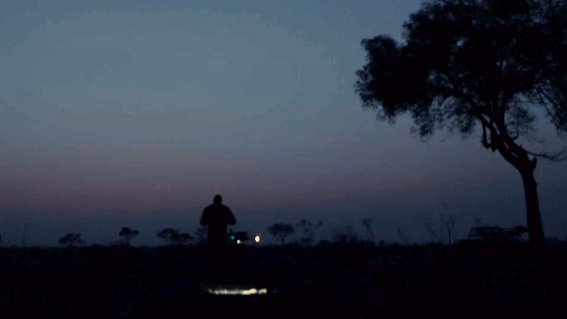
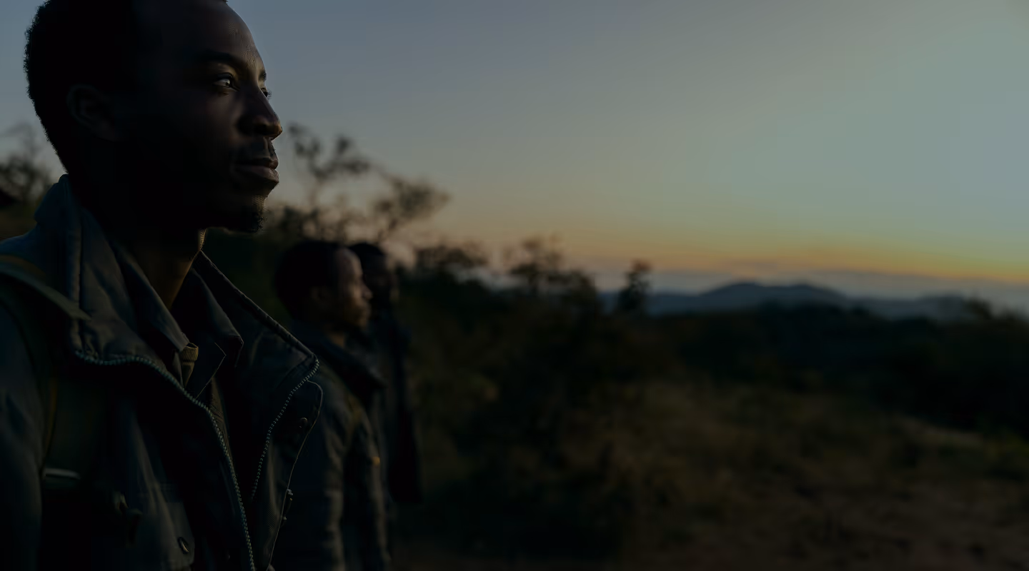
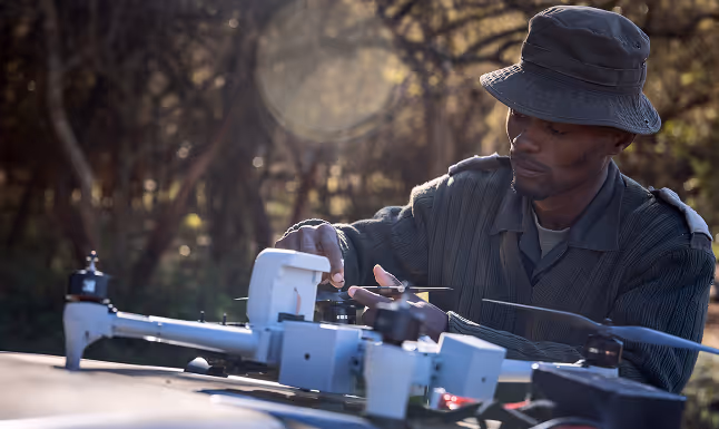
When conservationists need to see beyond ridge lines and into valleys, Sentala takes flight
Drones act as a digital scout – fusing diverse data sources with real-time visibility to detect what the human eye can’t whether at night, through dense bush, or across vast distances
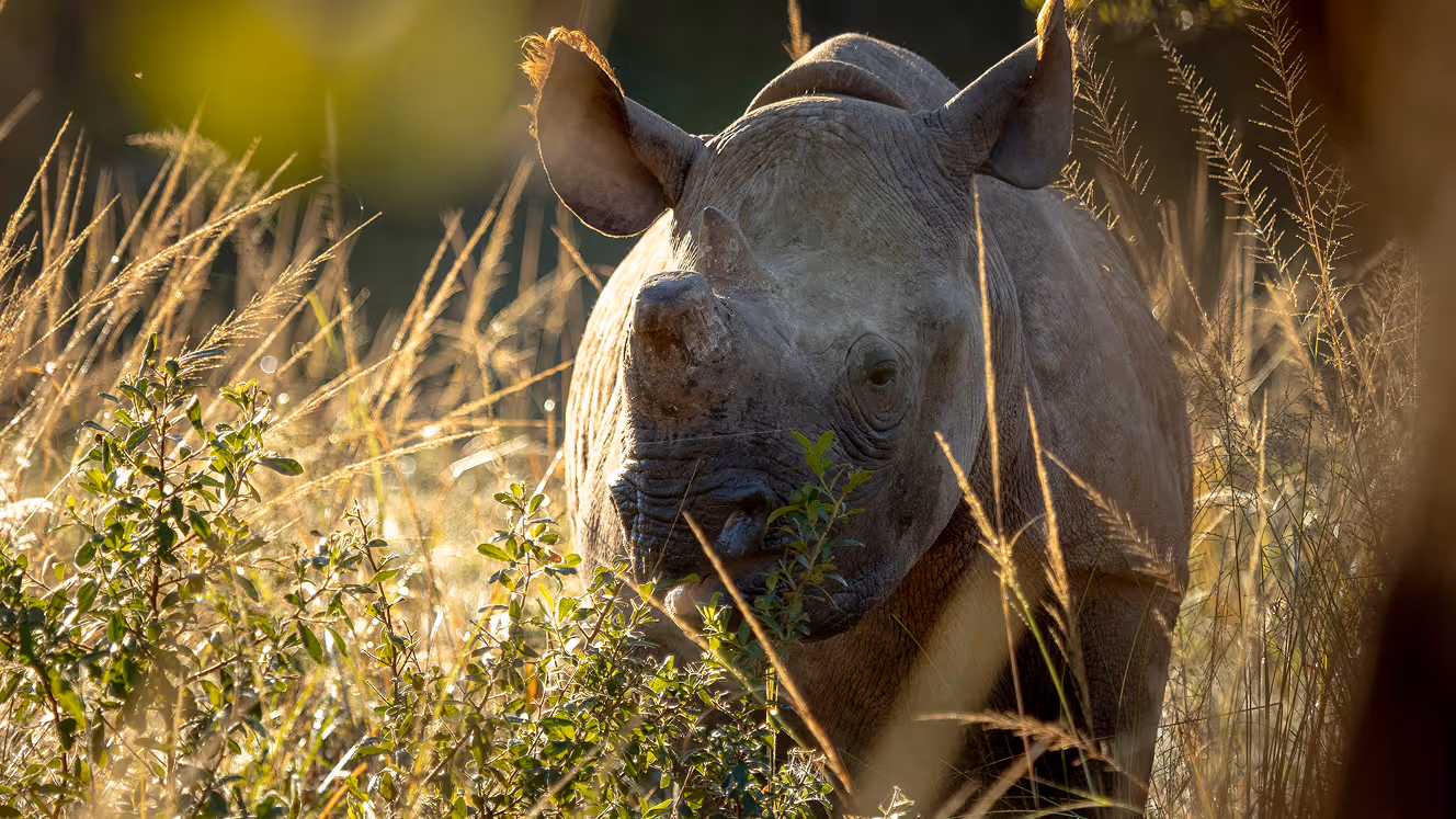
Eyes above, lives below
10:22
Heading
“The promise of drone applications for conservation has been tantalizingly close for years. Sentala's platform and the program behind it are bringing that promise within reach."
Jes Lefcourt
Director, EarthRanger
A unified platform designed to scale
Combining endurance drones, long range communications, and real-time data – Sentala enables 24/7 monitoring and coordinated action across vast landscapes
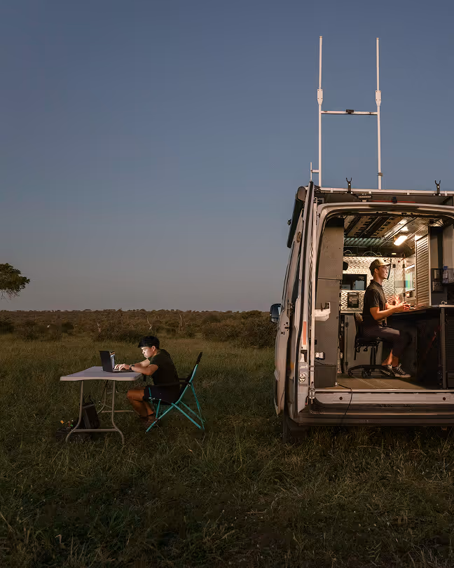
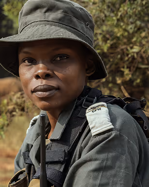
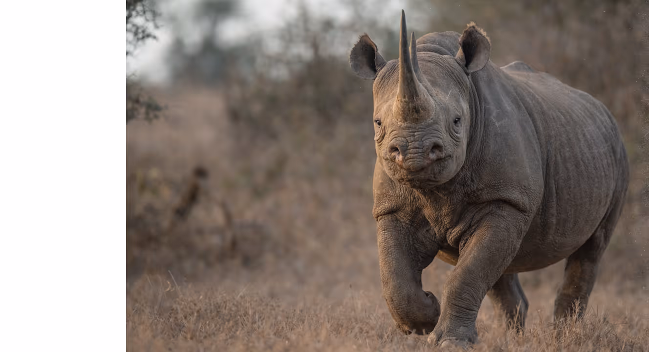
Better visibility helps teams understand what is happening across vast areas of protected land
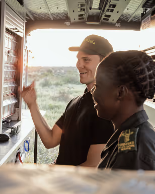
Sentala's drone systems are developed and tested alongside conservation teams in the field
Our collaborators